Earth from Space
How Satellite Imagery Supports Climate Monitoring and Disaster Response
TECHNOLOGY
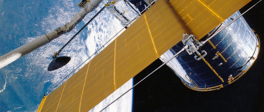
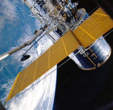
Satellite Imagery
In our modern world, where technology continues to evolve at an astonishing rate, satellite imagery has become an essential tool for monitoring Earth’s environment. From understanding climate change to managing natural disasters, these high-tech eyes in the sky offer unparalleled insights into the state of our planet. Imagine being able to track hurricanes, forest fires, or even how much rain a region is getting, all from space!
Monitoring Climate Change
One of the most critical uses of satellite imagery is monitoring climate change. Satellites orbiting the Earth are equipped with advanced sensors that provide data on temperature, atmospheric composition, and land use. This information is invaluable for scientists studying the effects of global warming. By analyzing long-term data sets, researchers can observe patterns and trends that help predict future climate scenarios. For example, satellite images have shown a dramatic increase in global temperatures and the melting of ice caps, prompting urgent discussions on climate action.
When it comes to natural disasters, timely information is crucial. Satellite imagery plays a vital role in disaster response, allowing authorities to assess damage, coordinate relief efforts, and even predict potential hazards. For instance, during hurricanes, satellites provide real-time imagery showing storm paths and intensity. This information is used to issue warnings and evacuate communities at risk, ultimately saving lives.
Moreover, post-disaster satellite images help track recovery efforts. They allow organizations to identify the hardest-hit areas and allocate resources effectively. By comparing pre- and post-disaster images, we can gauge the level of destruction and plan for future improvements in infrastructure and emergency response strategies. In addition to hurricanes, satellites assist in monitoring wildfires, floods, and droughts. They can capture the progression of fires, assess flood levels, and evaluate drought conditions. This capability not only helps in immediate response but also assists in long-term planning for disaster preparedness.
Final Thoughts
As technology advances, we can expect even more sophisticated satellite systems to enhance our understanding of the Earth’s environment. Newer satellites will provide higher resolution images, monitor additional parameters, and deliver data at unprecedented speeds. Innovations like machine learning and artificial intelligence will also allow scientists to analyze this wealth of data more efficiently. Ultimately, satellite imagery is transforming how we approach environmental issues and natural disasters.